
Own project, 2008
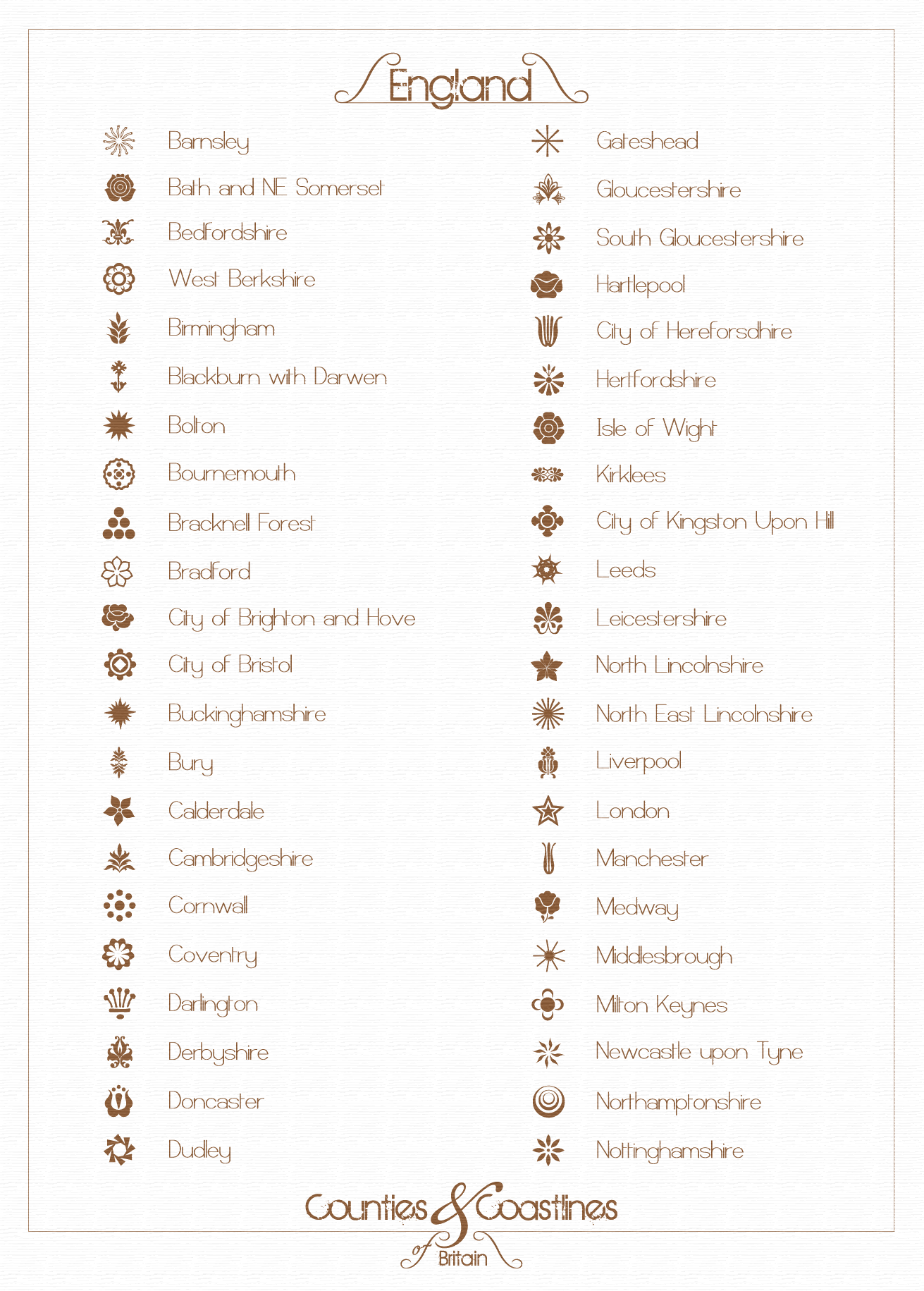
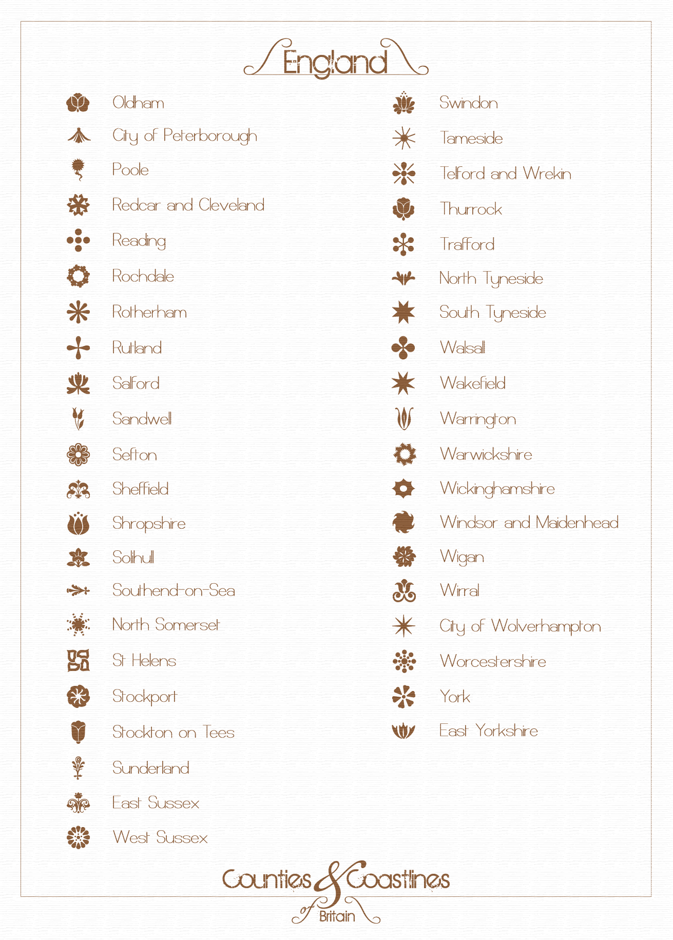
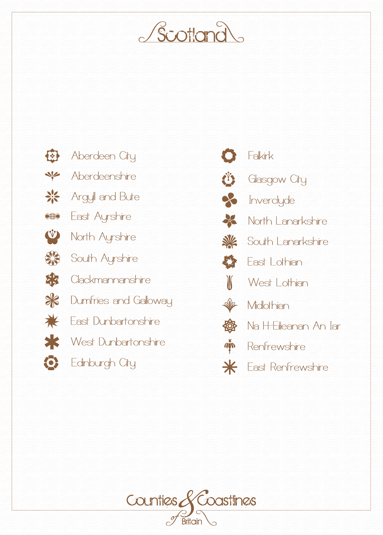
Hand drawn vector outline of the UK coast including border lines and counties labelled by typography and patterns. There are four appendages to this piece (see below main map image) which are A5 reference keys to the imagery. The map print was produced at A1, I'd love to get this reprinted with a few changes now that I understand aspects of design like kerning but alas, the files were lost in a irresponsibly backed up disk drive failure.
Click to enlarge images.
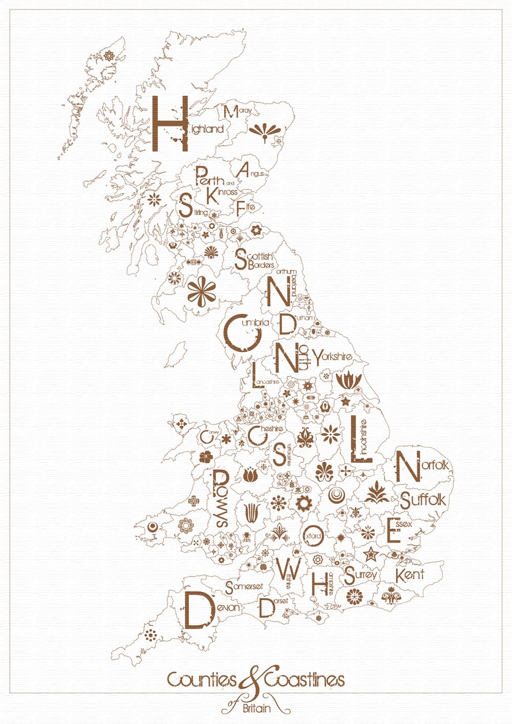
Full map, actual

No comments:
Post a Comment